(ref: viewtopic.php?f=6&t=21351&p=194334#p194334)
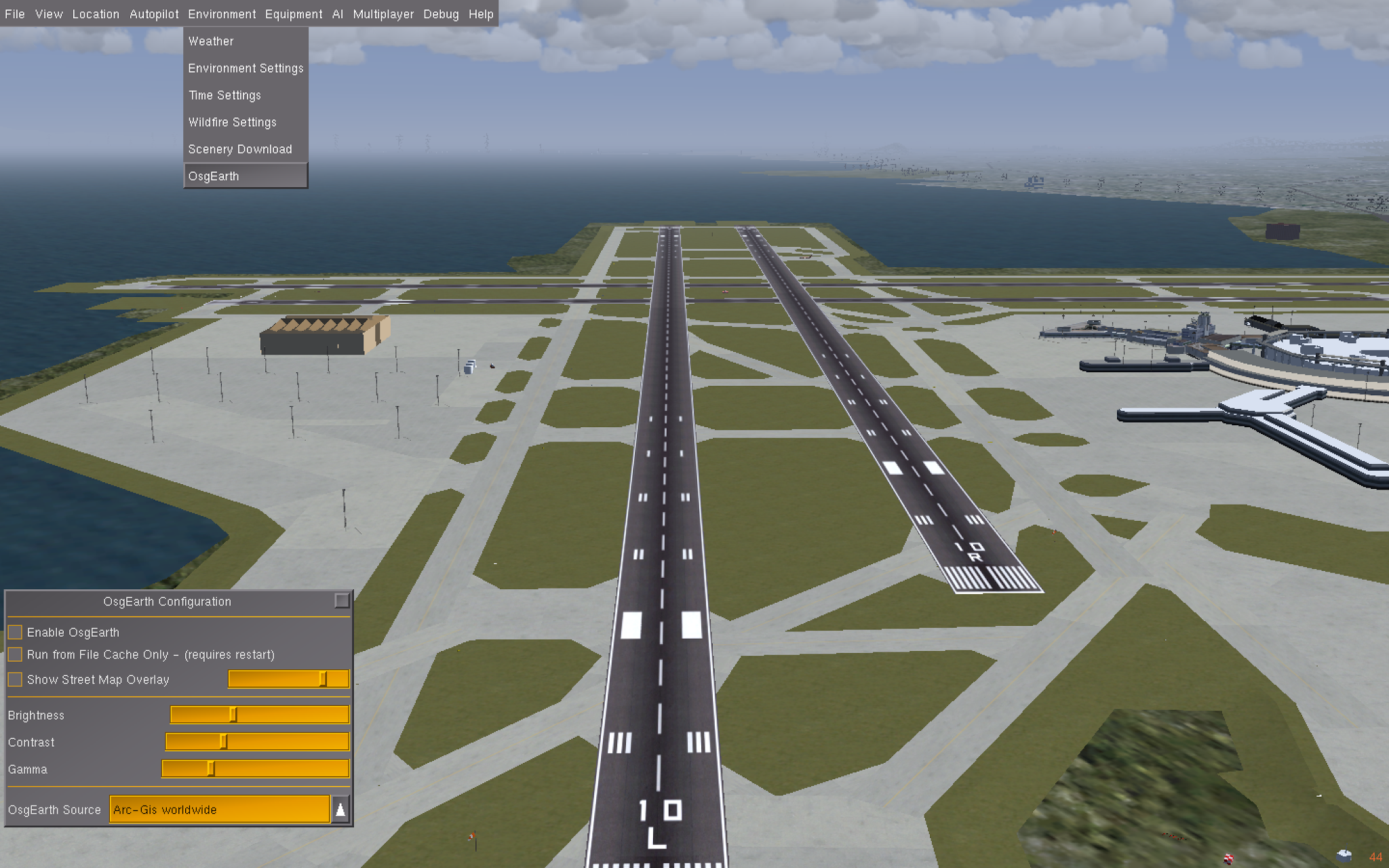
KSFO runway 10L with native Flightgear terrain
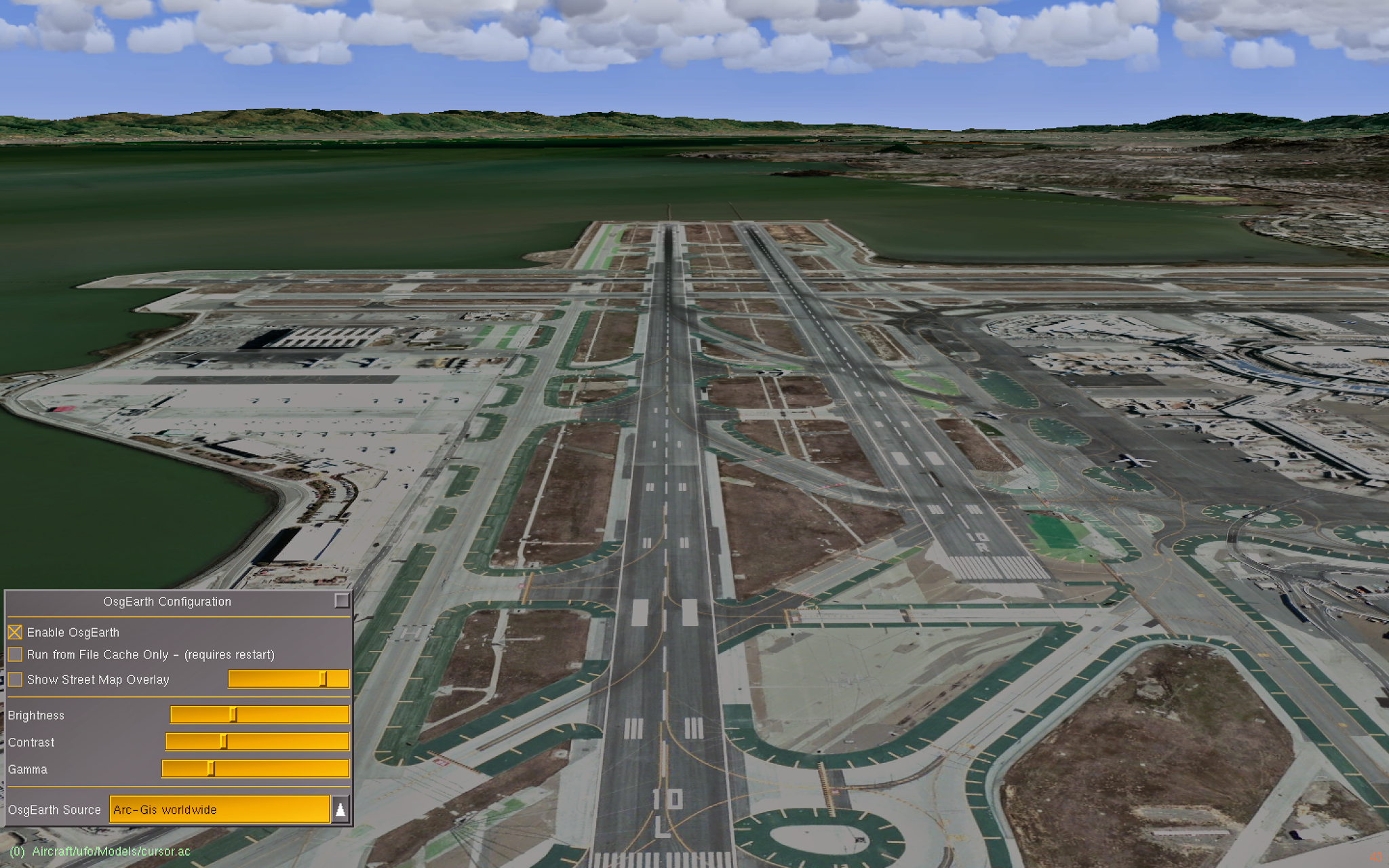
KSFO runway 10L osgEarth enabled, source = ArcGis
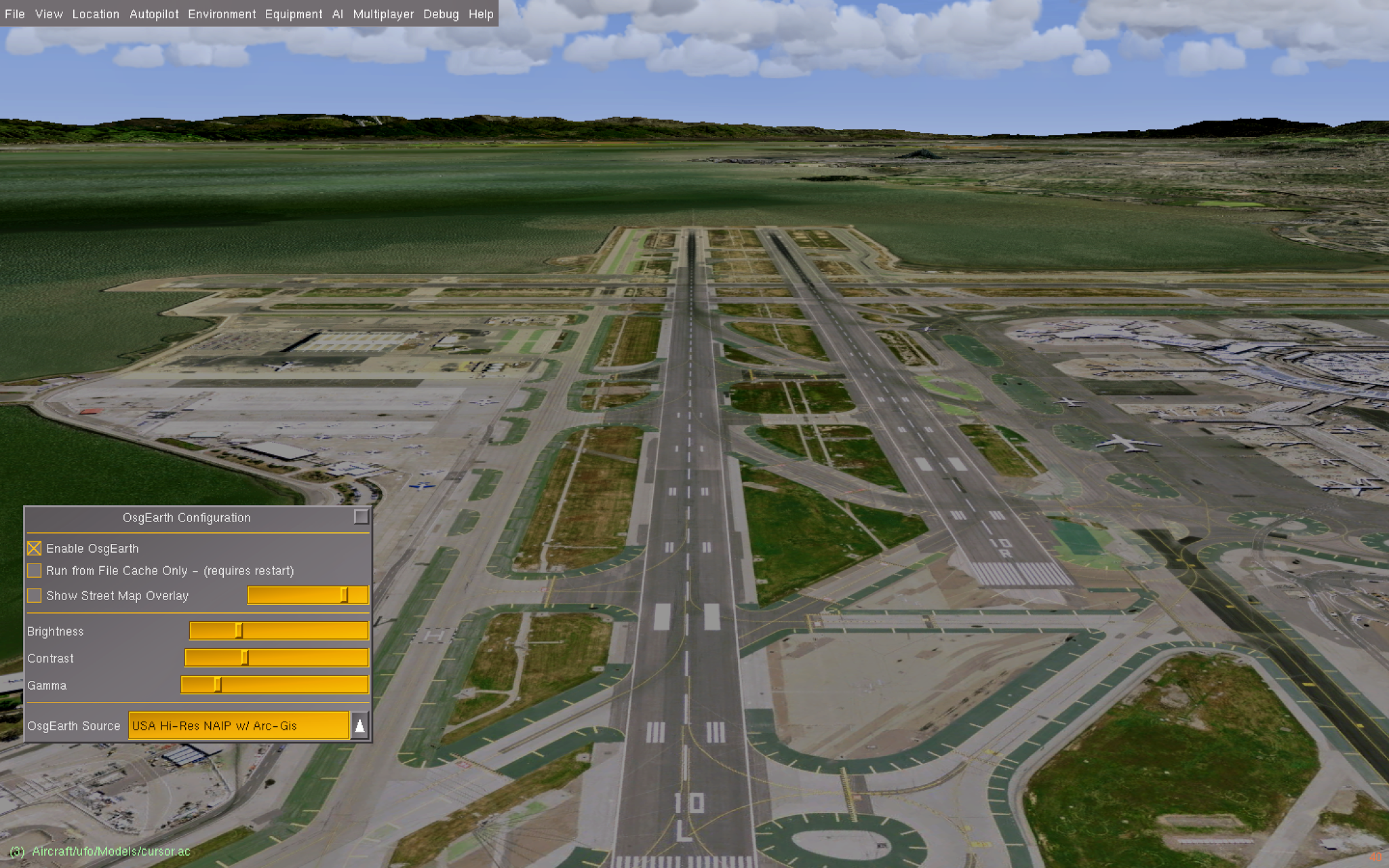
KSFO runway 10L osgEarth enabled, source = HiRes NAIP
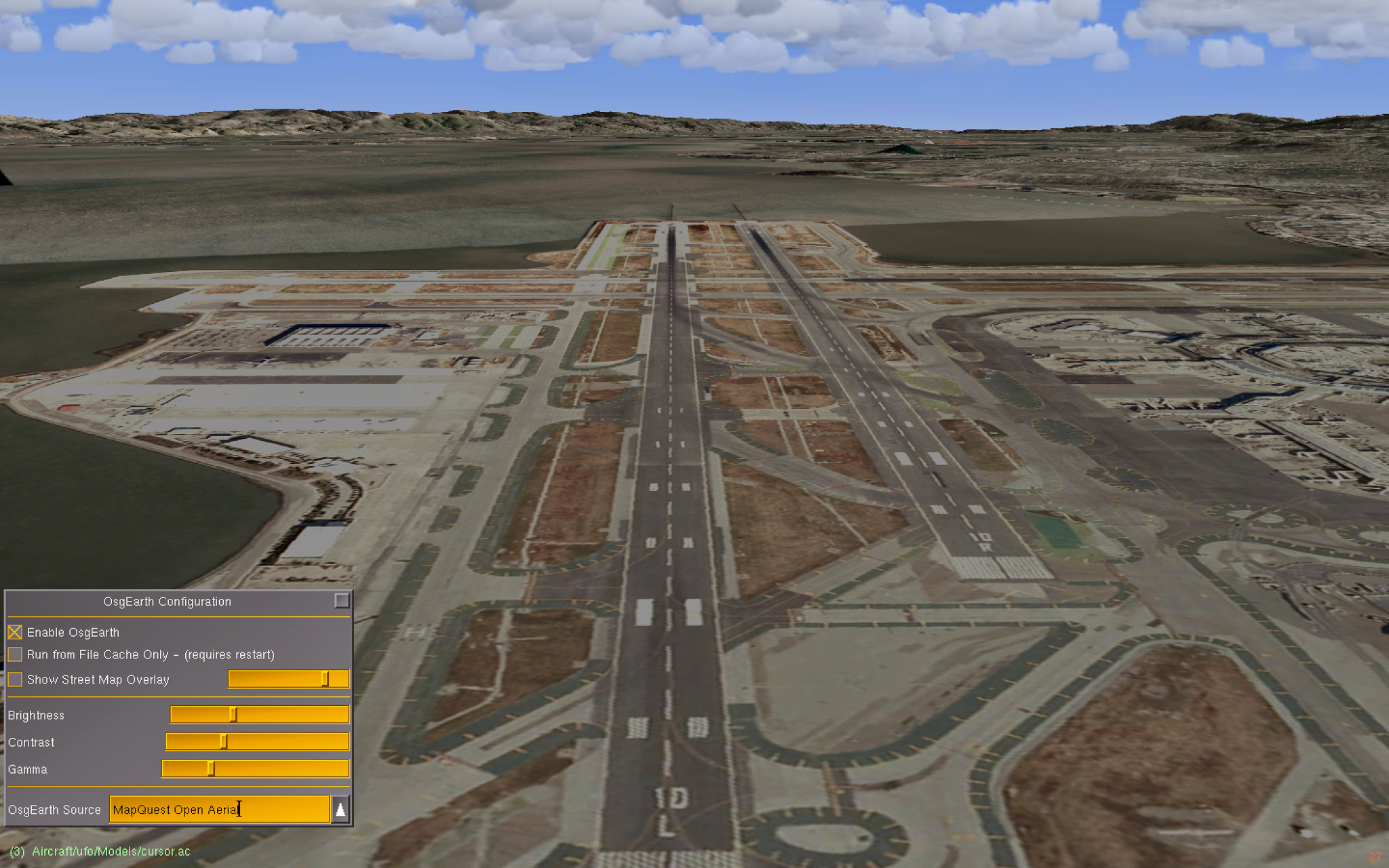
KSFO runway 10L osgEarth enabled, source = MapQuest Open Aerial
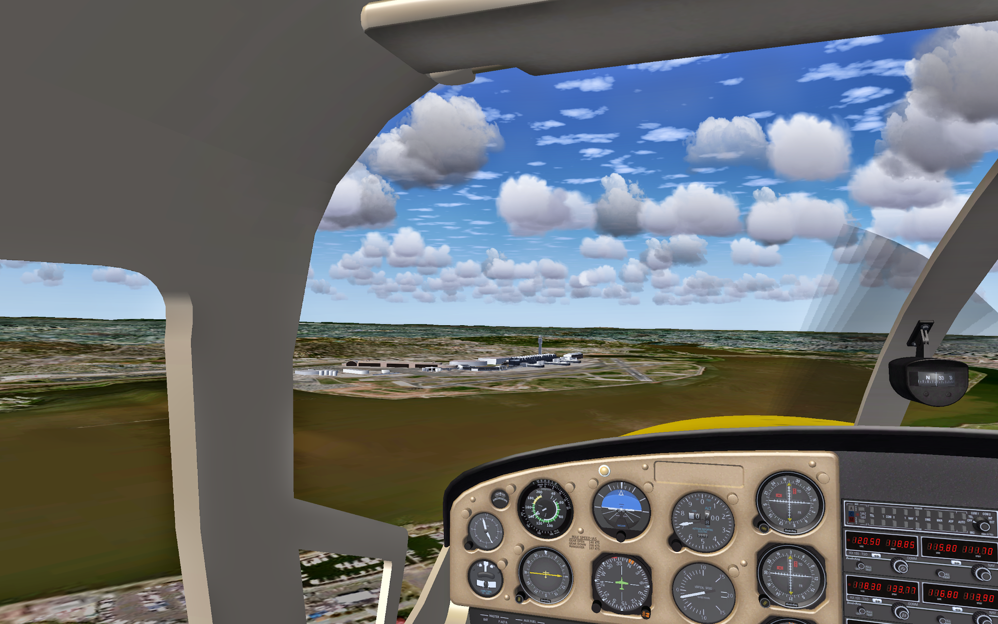
KDCA approach
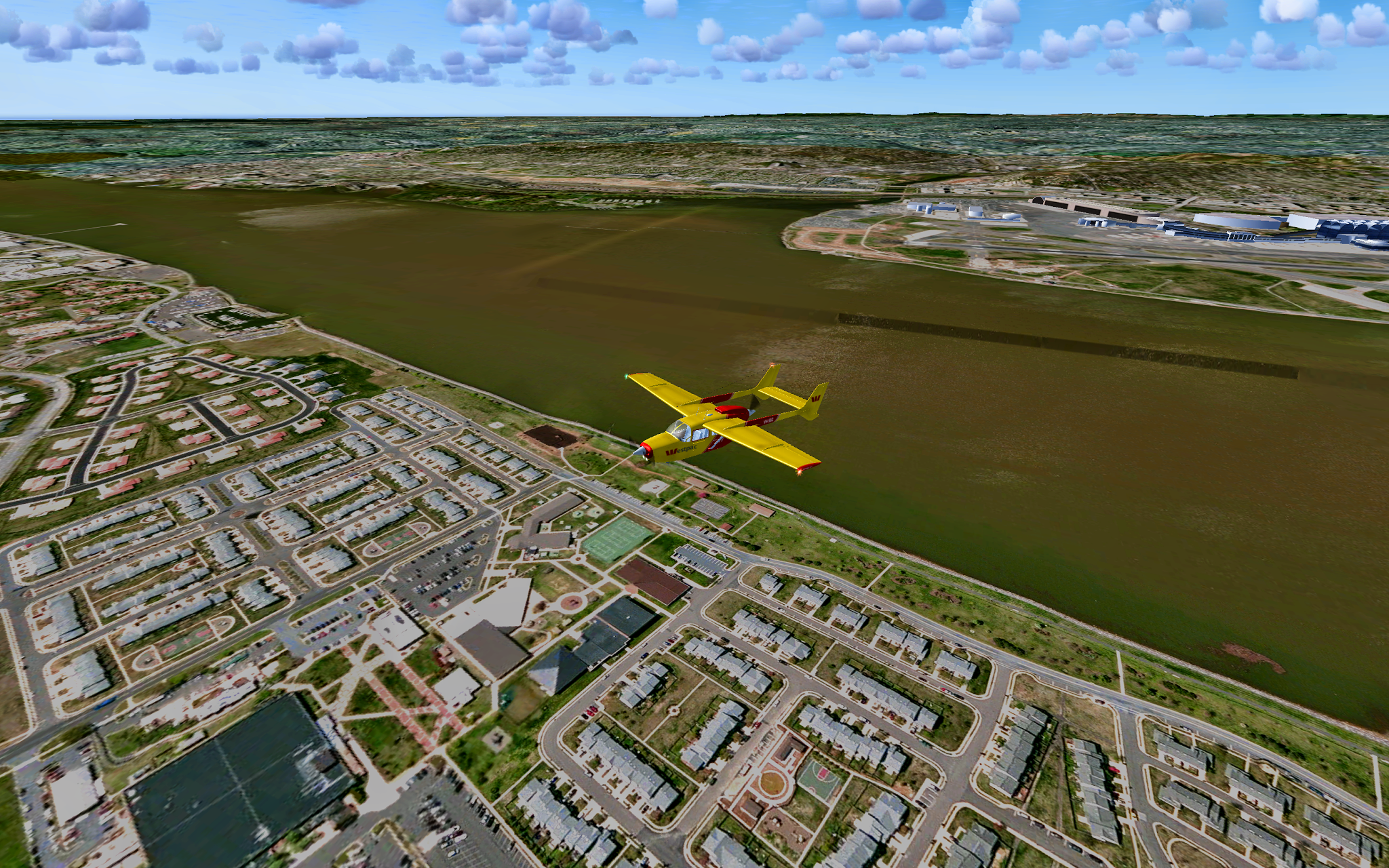
KDCA crossing Potomac, source = ArcGis

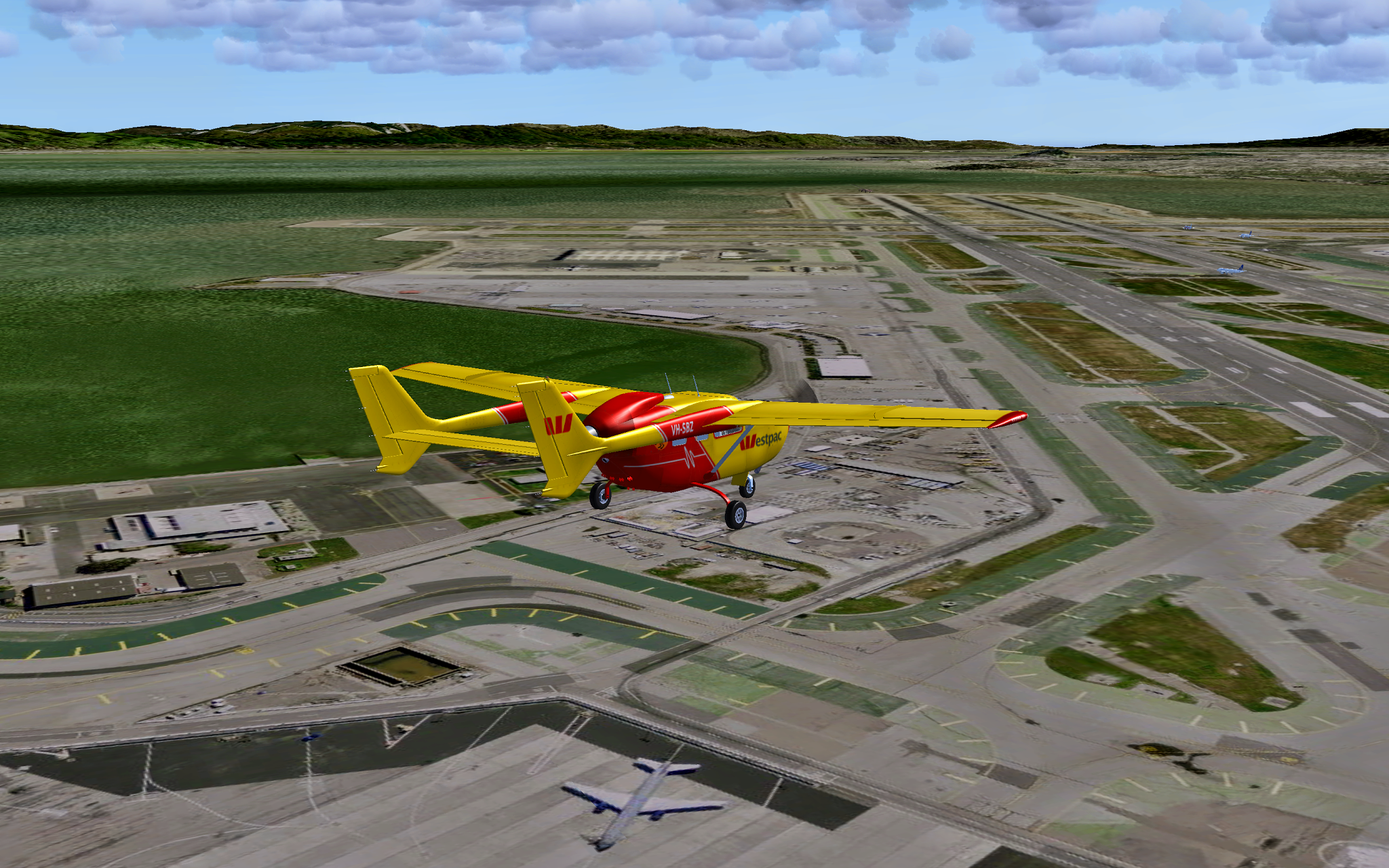
KDCA parallel to runway 330, source = ArcGis

KSFO, airport structures from KML, with AI scenario

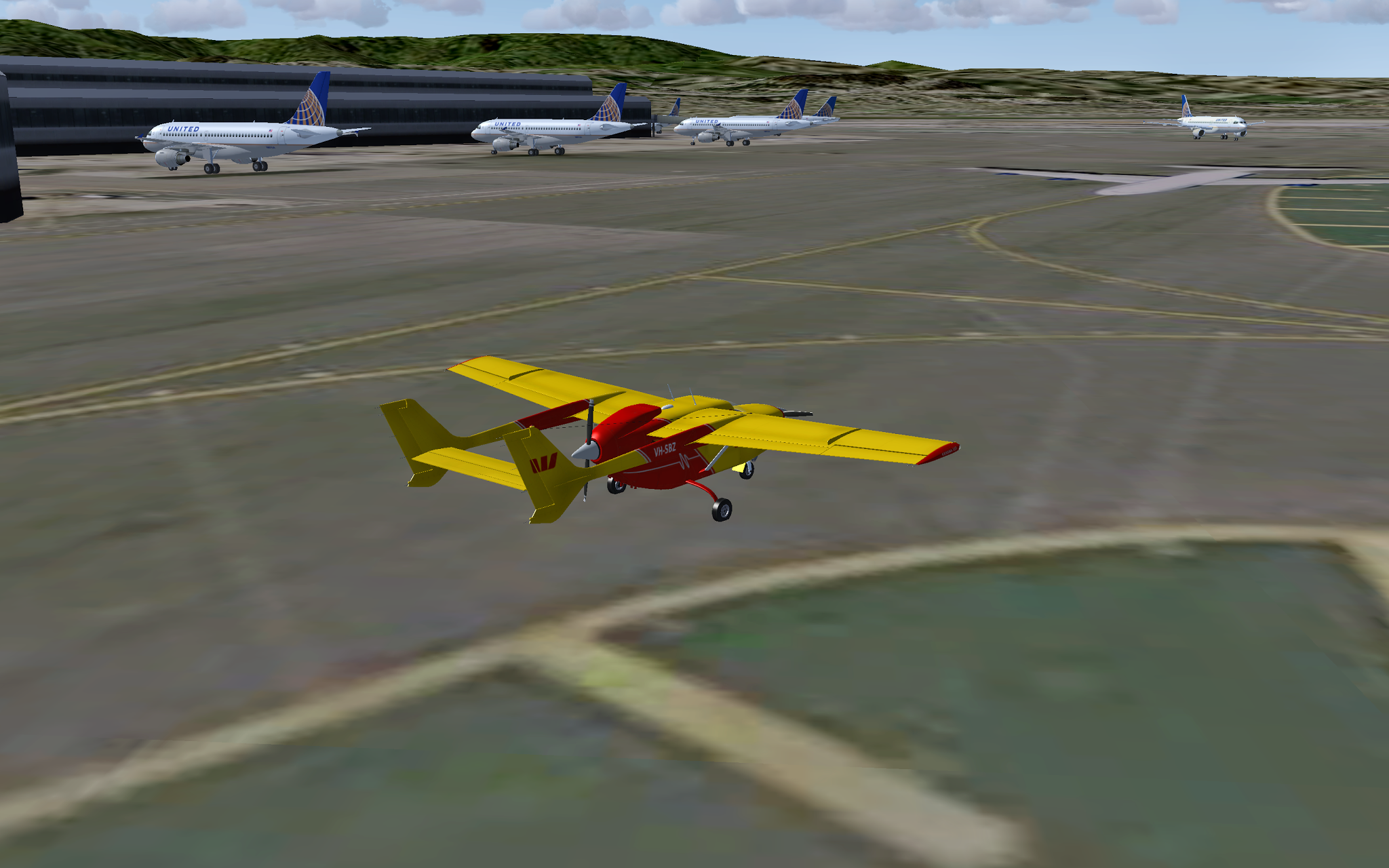
KSFO AI takeoff, source = NAIP Hi-res
KSFO approach, source = NAIP Hi-res

KSFO approach lights KML, source = NAIP Hi-res
KSFO AI scenario, airport KML, source = NAIP Hi-res
KSFO - taxiway, source = NAIP Hi-res
Street Maps enabled

San Francisco looking toward KSFO, source = NAIP Hires

Alcatraz
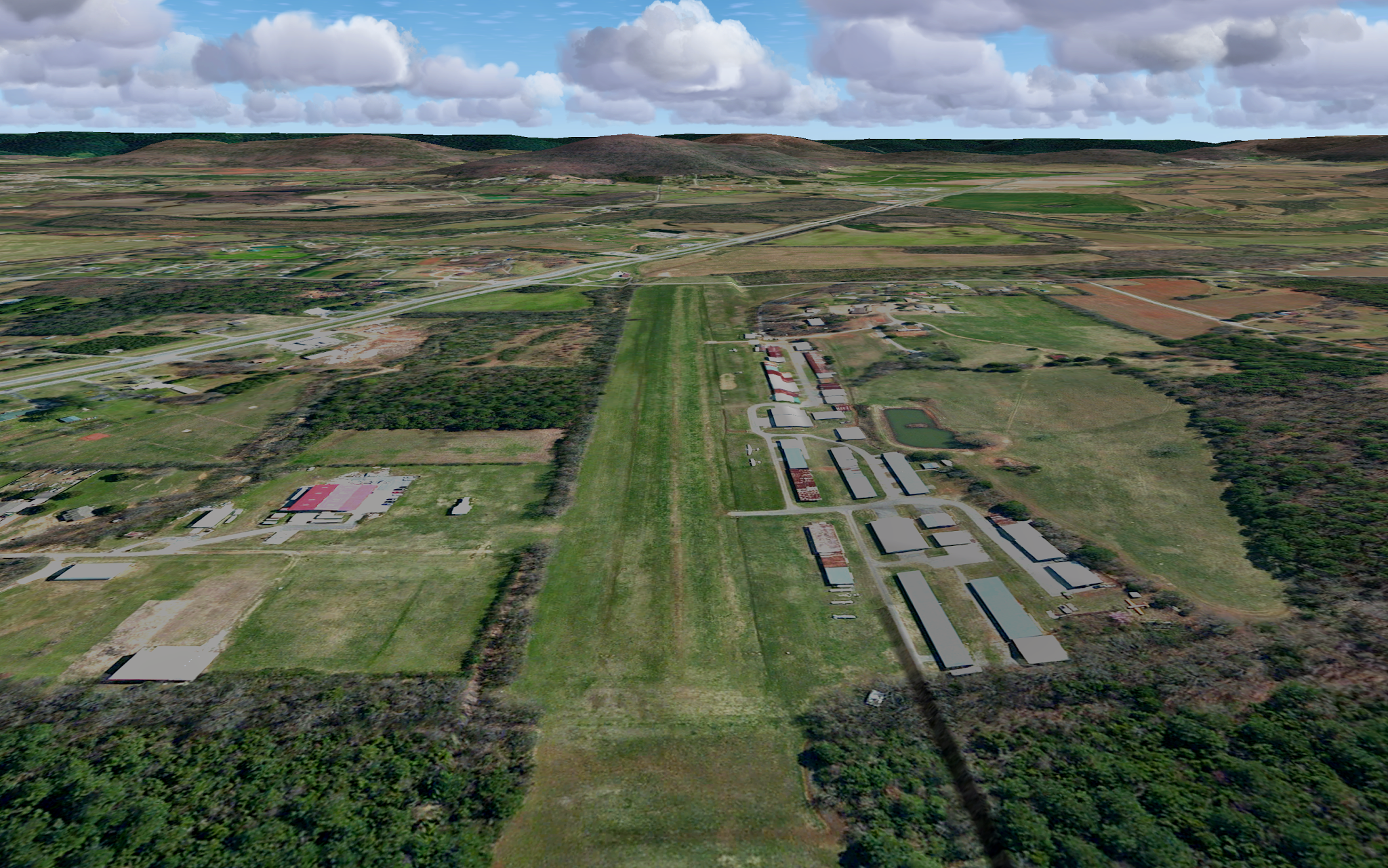
3M5 Moontown grass airstrip, source = ArcGis

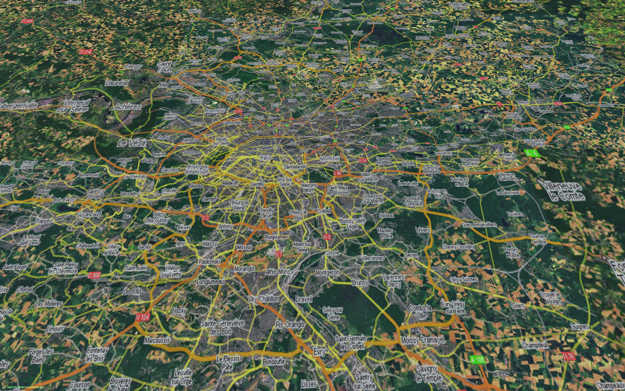
Terra Firma from on high, source = ArcGis
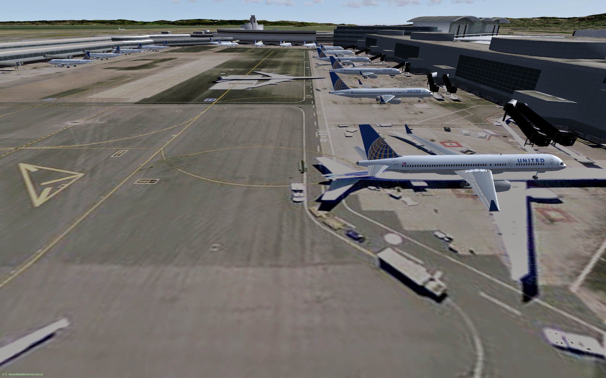
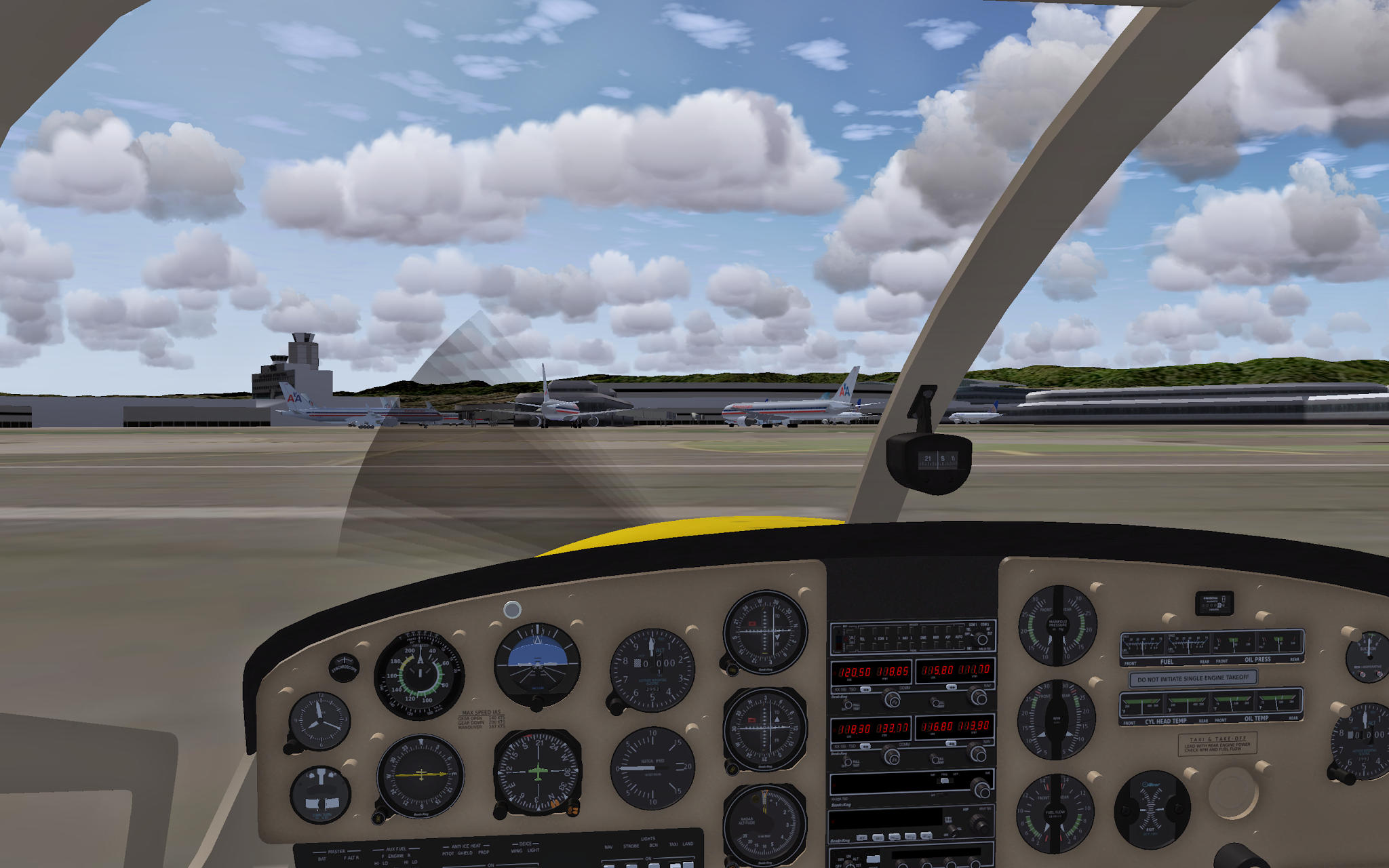
KSFO - taxi near the big boys (source = NAIP Hi-res)

LOWI - excessive field of view (source = ArcGis)


